It’s going to be a quieter year for the Atlantic. National Oceanic and Atmospheric Administration (NOAA) has officially released its outlook for the 2026 Atlantic hurricane season, predicting below-normal activity with a 55% probability. The forecast covers the standard window from June 1 through November 30, 2026.
Here’s the thing: while the numbers look lower than average, that doesn’t mean you can ignore the threat entirely. A single powerful storm can cause billions in damage, regardless of how quiet the rest of the season is. But for now, the data points toward a less chaotic few months compared to recent years.
The Numbers Behind the Forecast
Let’s break down what NOAA is actually saying. They aren’t just guessing; they’re looking at statistical probabilities based on historical patterns and current climate indicators. For the 2026 season, the agency expects:
- 8 to 14 named storms (compared to an average of 14)
- 3 to 6 hurricanes (compared to an average of 7)
- 1 to 3 major hurricanes (Category 3 or higher, compared to an average of 3)
These ranges have a 70% probability of occurring. That means in seven out of ten similar climate scenarios, the activity will fall within these bounds. It’s a significant drop from the hyper-active seasons we’ve seen recently, but it’s not a guarantee of calm waters.
The Accumulated Cyclone Energy (ACE) index, which measures total storm energy, is expected to range between 45% and 115% of the median. This metric helps meteorologists understand not just how many storms there are, but how intense and long-lasting they might be.
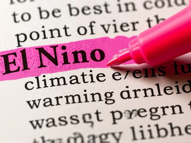
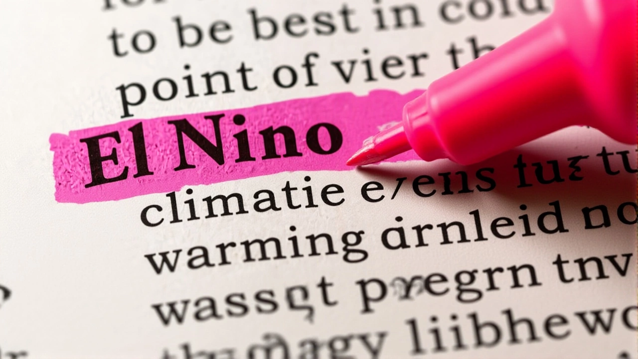
Why El Niño Is the Key Driver
So, what’s driving this quieter outlook? The answer lies in the Pacific Ocean. NOAA Climate Prediction Center forecasts a near-certain El Niño pattern for the upcoming season.
According to their May 2026 ENSO outlook, there is a 98% chance that El Niño conditions will persist through the peak hurricane months of August, September, and October (ASO). There’s only a 2% chance of neutral conditions and virtually zero chance of La Niña.
El Niño creates strong wind shear over the Atlantic basin. Think of wind shear like a blender—it tears developing storms apart before they can gain strength. This suppression effect is why we typically see fewer hurricanes during El Niño years. However, as one news report noted, "warmer ocean temperatures and lighter winds could still help fuel storms, so it's not a zero risk." Nature always has a way of throwing a curveball.
New Tech Meets Old Risks
This isn't just about weather patterns; it's also about how we monitor them. NOAA is deploying new tools for the 2026 season, including advanced drones and artificial intelligence (AI) systems. These technologies aim to improve forecast accuracy and provide earlier warnings for coastal communities.
While the tech is impressive, the human element remains critical. Experts emphasize that preparedness shouldn't wait for the first warning siren. "Experts say you should prepare your emergency hurricane kit now," reports indicate. This includes stocking up on water, non-perishable foods, and essential medicines.
It’s a simple reminder: even in a "below-normal" year, one Category 3 hurricane hitting a populated area can be catastrophic. The difference between a manageable event and a disaster often comes down to preparation.

What This Means for You
If you live along the Atlantic coast or in the Gulf of Mexico, take a breath—the odds are in your favor for a less active season. But don’t let your guard down completely. Insurance rates, evacuation plans, and supply stocks should still be reviewed before June 1.
For those further inland, the impact is likely minimal, though heavy rain bands from distant storms can still cause flooding. Keep an eye on local weather updates, especially during the peak months of late August through October.
Frequently Asked Questions
What does a "below-normal" hurricane season mean?
A below-normal season means there is a higher probability (in this case, 55%) that the number of named storms, hurricanes, and major hurricanes will be lower than the 1991-2020 average. It does not mean no storms will form, but rather that the overall frequency and intensity are expected to be reduced compared to typical years.
How does El Niño affect Atlantic hurricanes?
El Niño increases wind shear in the Atlantic basin. Wind shear disrupts the structure of tropical cyclones, making it difficult for them to form or intensify. With a 98% chance of El Niño conditions in 2026, meteorologists expect this suppressive effect to limit storm development significantly throughout the peak season.
When does the 2026 Atlantic hurricane season start and end?
The official Atlantic hurricane season runs from June 1 to November 30, 2026. The peak period of activity typically occurs from mid-August through October, when ocean temperatures are warmest and atmospheric conditions are most favorable for storm formation.
Should I still prepare if the forecast is below-average?
Yes. Even in below-average seasons, individual storms can be devastating. Experts recommend preparing an emergency kit with water, non-perishable food, and medicines well before the season starts. A single major hurricane can cause widespread damage, so readiness is crucial regardless of the seasonal outlook.
What new technology is NOAA using in 2026?
NOAA is integrating new tools such as specialized drones and artificial intelligence (AI) algorithms to enhance forecasting capabilities. These technologies help improve the accuracy of storm track predictions and intensity estimates, providing better lead time for emergency response teams and the public.